Where in the World?
|
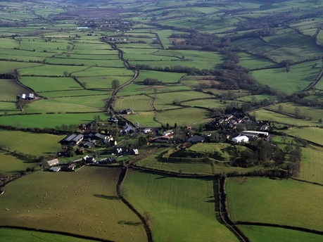
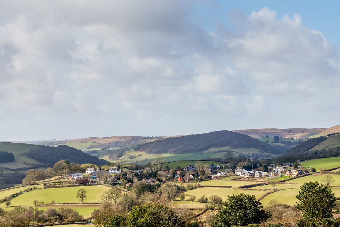
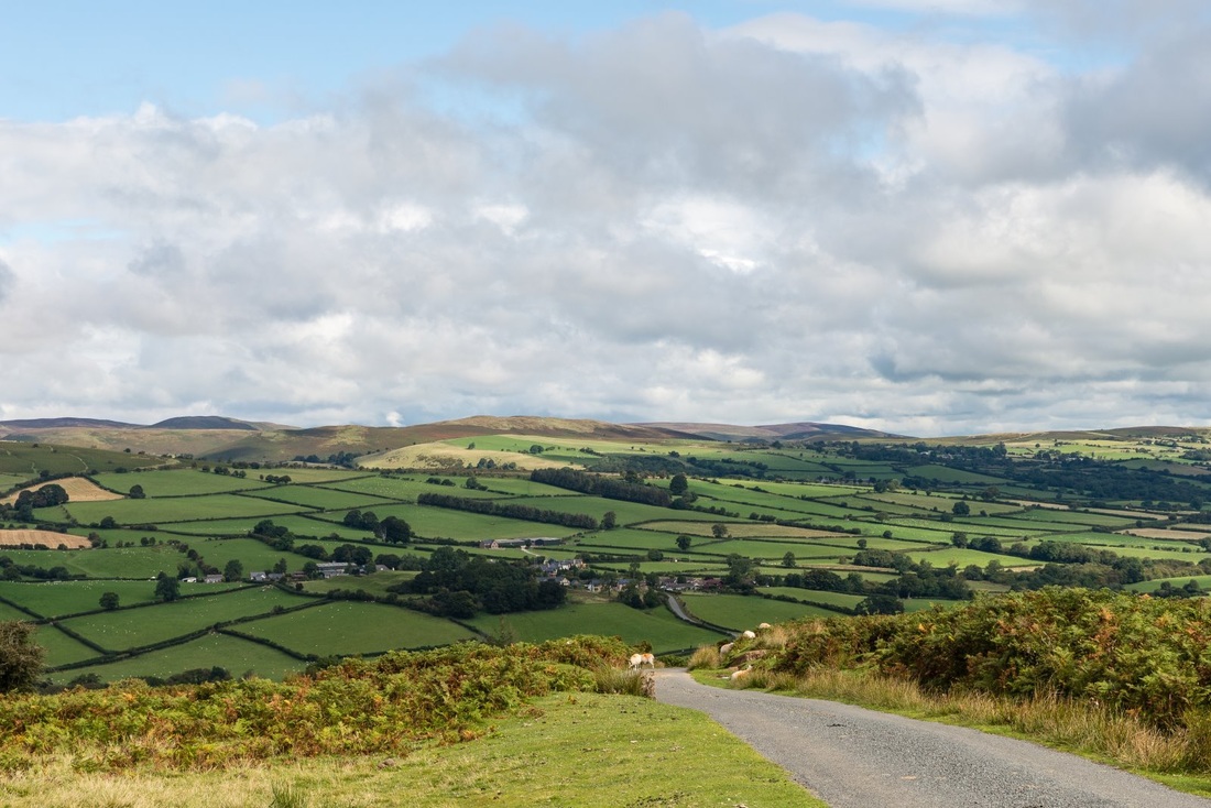
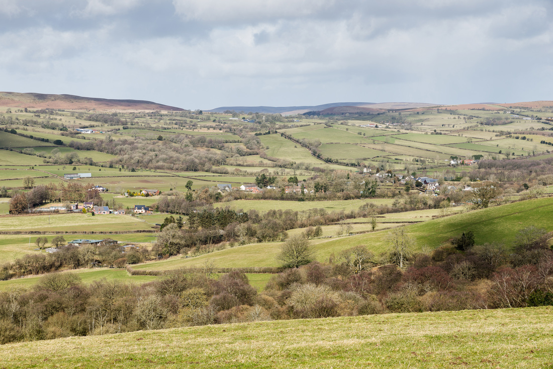
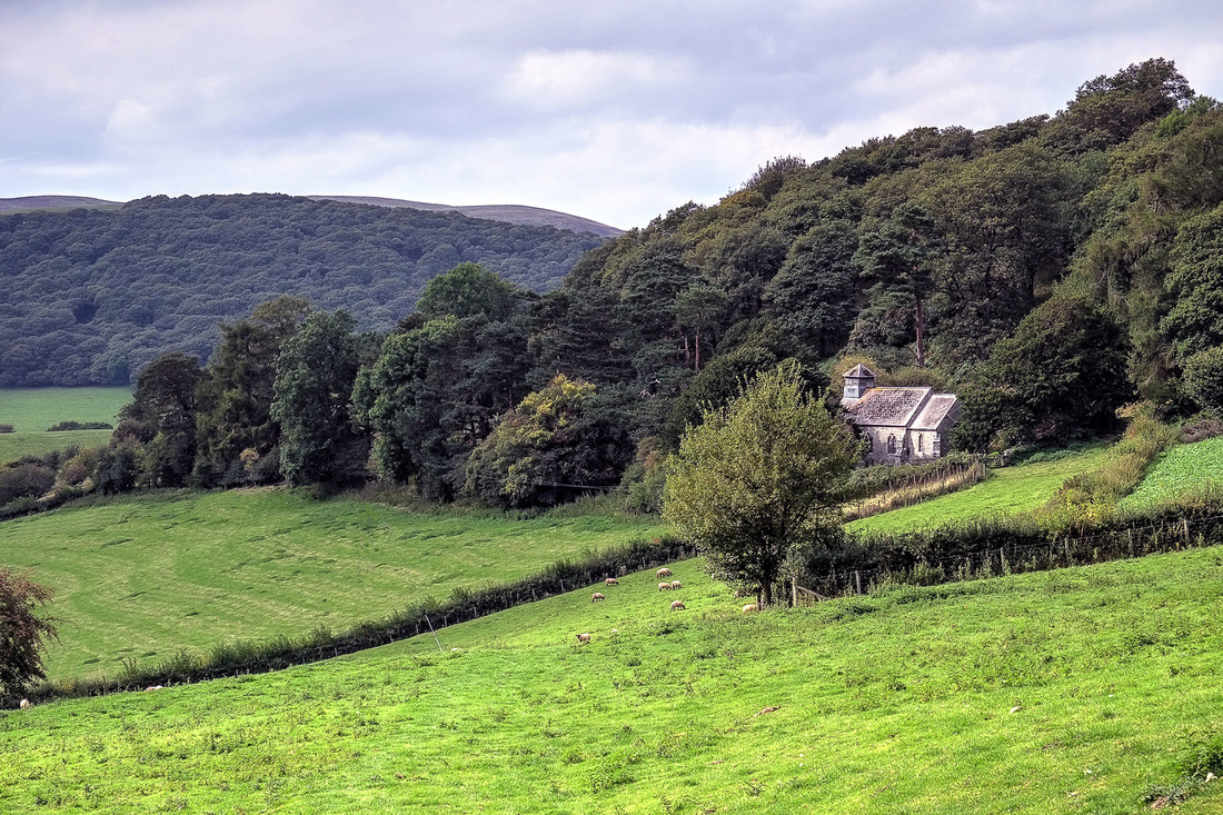
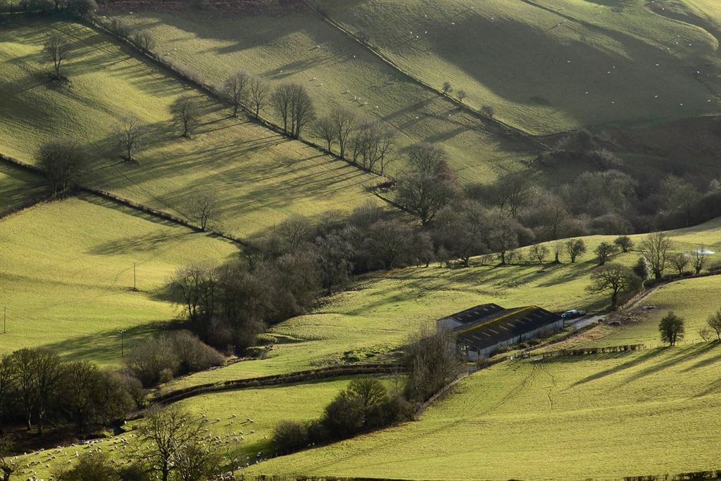
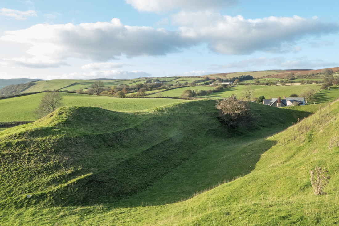
The small Welsh rural community of Painscastle and Rhosgoch is situated in an elevated position above the Wye valley in southern Radnorshire, now part of the larger county of Powys. The community is just over 5 miles to the north-west of the English border at Hay-on-Wye. Much of the northern boundary of this community comprises a largely uninhabited moorland ridge, which includes Llandeilo Hill, Llanbedr Hill, Red Hill and Bryngwyn Hill. The population is concentrated in the small villages of Painscastle and Rhosgoch and in the unclassified but historic settlements of Bryngwyn, Llanbedr and Llandeilo Graban, with the remainder living in scattered farms and other rural dwellings along the valley of the small Bachawy river, a tributary of the Wye. Please see below for much more information about the geography and geology of this area. We have also included a note on the sort of weather you can expect if you visit, but please don't be put off, as it doesn't always rain in Wales!
|
Geography
|
Painscastle is situated at Ordnance Survey (OS) grid reference SO 167463, which equates to a Latitude of 52.108730 North and a Longitude of 3.217742 West (WGS84 Datum). The centre of the village is 271 metres above sea level. Rhosgoch is situated at Ordnance Survey grid reference SO 186477, which equates to a Latitude of 52.121598 North and a Longitude of 3.190340 West. The centre of Rhosgoch lies at 260 metres above sea level. The small hamlet of Bryngwyn is situated at 364 metres. The highest point of the community is Red Hill at 509 metres, although there are many hills in the area that exceed 450 metres.
The community sits astride the valley of the small River Bachawy that has its source on the slopes of Llanbedr Hill north-west of Rhosgoch before flowing through the village and then turning sharply west and continuing to the south of Painscastle on its journey to its confluence with the famous River Wye just south of Erwood, about 6 miles away. Painscastle is 168 miles from the UK capital city London and 62 miles from Cardiff, the capital of Wales. The county town of Llandrindod Wells is situated just over 18 miles to the north-west. The market town of Builth Wells is just over 12 miles away, also to the north-west, and the English market town of Kington in Herefordshire is under 12 miles to the north-east. The major tourist destination of Brecon is just 18 miles away to the south-west. The B4594 road crosses this community and serves as its main arterial route between Erwood and Kington, with other minor unclassified roads leading north-west over Llanbedr Hill to Hundred House and south-east across the Begwns range of hills to Clyro and Hay-on-Wye. Additional minor roads lead east from Painscastle across Clyro Hill and eventually to Rhydspence - unquestionably an old drovers' route - and also south/south-west across the Begwns to Llowes or via the old settlement of Ffynnon Gynydd down to the bridge across the River Wye at Glasbury. There are also many unsurfaced track ways to be found and this surfeit of roadways leading into and out of Painscastle was undoubtedly due to the need to reinforce the castle rapidly at times of threat during the Middle Ages. Many of these roads have very ancient origins and the road from Painscastle north across Llanbedr Hill to the Edw valley was only surfaced and adopted as a public highway in the 1970s. Painscastle is a good example of a nucleated settlement in that most of its main buildings and also three farms are clustered around a central point - in this case a crossroads and small meadow adjacent to what would have been the former castle walls. However, unlike many such settlements elsewhere, there is no church in the village and this is instead located at Llanbedr Painscastle about 1 mile to the west. The reasons for this are historic in that St. Peter's Church at Llanbedr was almost certainly constructed on a much older religious site that predated the construction of Pain's Castle in about 1100. After the castle became established a planned settlement would naturally have grown around it. There is also another church - St. David's at Llanddewi Fach - just 1 mile to the south-west of Painscastle. For further details please see the History section. The community is badly served by public transport, with the last bus calling more than fifteen years ago and the nearest train station to be found at Builth Road, on the Heart of Wales line, about 14 miles to the north-west. There are regular buses between Hay-on-Wye and Hereford, which is very well connected by trains to London and Birmingham and other major centres. For further information please see the Visitor Guide. |
Geology
|
The Painscastle and Rhosgoch community sits on the sedimentary strata formed in the Silurian period and more specifically on the divide between the Ludlow and Pridoli sub-divisions, that is to say, rock formed between about 416 and 423 million years ago. These are typically shales and mudstones which then merge to the south with the Old Red Sandstone of the Black Mountains and most of the rest of the Brecon Beacons range. The immediate area is largely defined by moorland ridges created by glacial deposits of sand and gravel bisected by the various watercourses that emerged from the last glacial period (Devensian) over unsorted till or diamicton, although there are notable alluvial fan deposits of sand and gravel underlying the area now known as Rhosgoch Bog, which is an important National Nature Reserve protected by Natural Resources Wales.
Whilst naturally rich in important fossils the underlying rock does not lend itself well to serious building work, which helps to explain why well-laid hedges rather than stone walls form the boundaries between enclosed pastures in the area. It is probably also the reason why many former local castles were stripped of their valuable stone in the later Middle Ages and were reborn as homes for the less noble classes! There are no significant mineral deposits in the area. |
Climate
|
This weather forecast is generated by the Met Office Weather Widget |
As befits its upland nature the climate of Radnorshire in general is certainly bracing, although the average rainfall can be lower than in the other neighbouring counties of Brecknockshire and Montgomeryshire. Local residents will recognise thick, drizzling mists as being quite common in Painscastle and Rhosgoch, although there are many days when the community will bask in the sunshine above the low, heavy cloud formations that often blanket the Wye valley below. The winters can sometimes be severe with heavy snowfalls, although the road between Painscastle and Clyro and many other minor roads nearby are ploughed and gritted regularly by Powys Council maintenance crews to keep them open at such times.
|
