Mucking About with Layouts
Daft Punk 1
Sed ut perspiciatis unde omnis iste natus error sit voluptatem accusant.
|
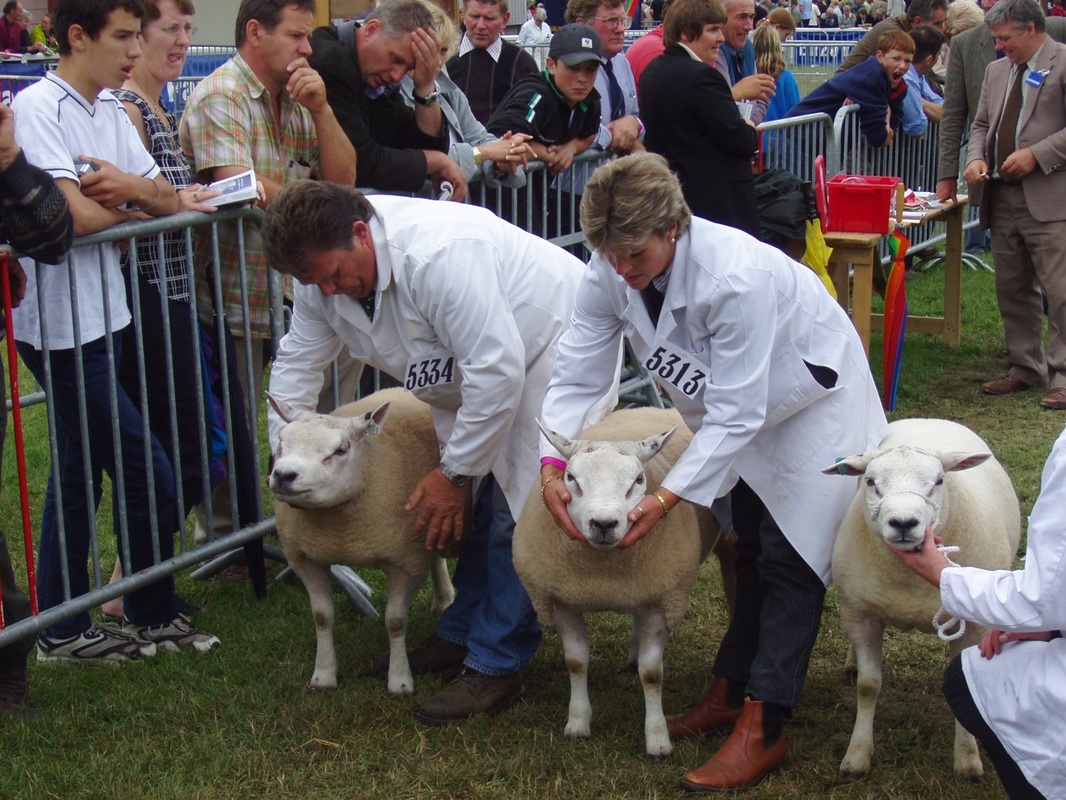
Royal Welsh Show
Sed ut perspiciatis unde omnis iste natus error sit voluptatem accusant.
|

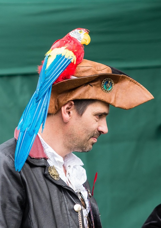
Daft Punk 2
Sed ut perspiciatis unde omnis iste natus error sit voluptatem accusant.
|
Bryngwyn Church
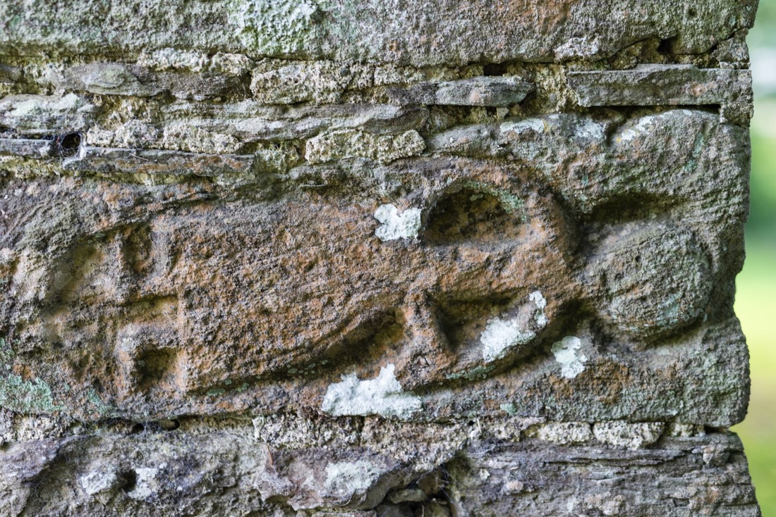
BRYN-GWYN, a parish, in the union of Hay, hundred of Painscastle, county of Radnor, South Wales, 5 miles (N. N. W.) from Hay; containing 281 inhabitants. This parish is situated on the small river Garrow, or Arrow, and on the road leading from Painscastle to the town of Kington. It is bounded on the north by the parish of Glascomb, on the south by Painscastle, on the north-east by Newchurch, on the east by Clyro, and on the west by the chapelry of Rulen; and comprises by computation about 4000 acres, consisting chiefly of pasture, with some tracts of fertile and productive land in a state of tillage. The surface is hilly and mountainous, with very little wood, and the soil of a loamy nature, producing several kinds of crops, of which oats is by far the most considerable. There is a large portion of common, part of which is a turbary, called Rhôs Gôch, producing very excellent peat, which is dug to the depth of fifteen feet from the surface.
|
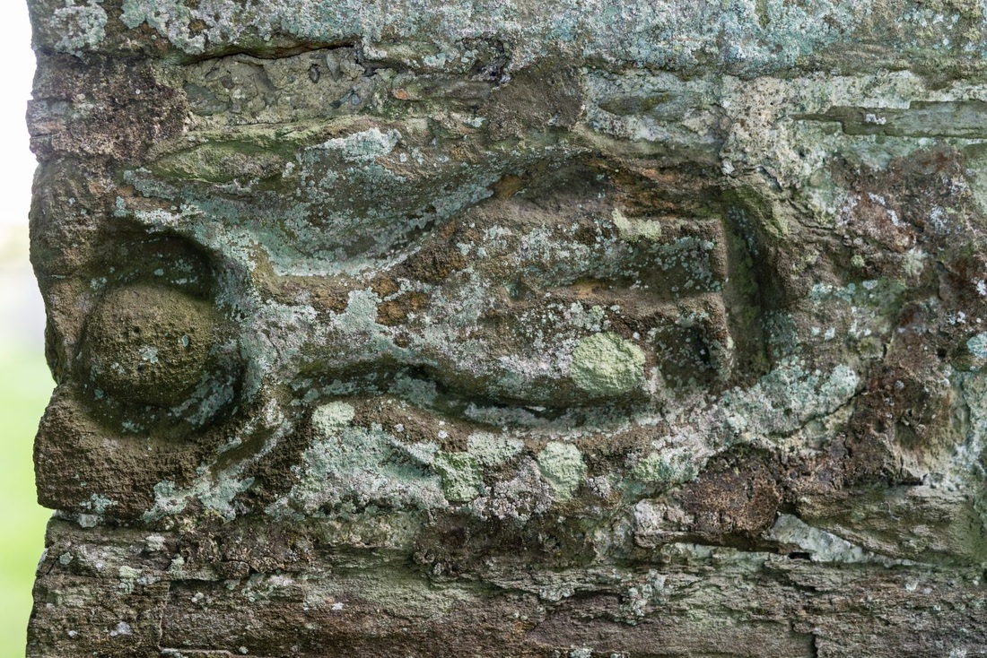
Beneath the peat are strata of blue clay and of clay of a yellow hue, the latter earth abounding with sea-shells, which crumble on the slightest touch: the layer is about two feet in depth, and appears to be incumbent on water, which rises up through the fissures occasionally made with the spade, and soon fills the whole cavity. The living is a rectory, rated in the king's books at £11. 6. 8.; present net income, £294; patron, the Bishop of St. David's. The church, dedicated to St. Michael, consists of a nave and chancel, but is not distinguished by any architectural features deserving of notice. Richard Jones in 1706, and an unknown benefactor, gave each a portion of land, directing the rental, now £9. 2., to be periodically distributed among the poor.
|